A Captain’s Guide to Cruising, Sportfishing, and Exploring One of the World’s Greatest Boating Destinations
By Arturo Chacon. Cabo Sportfishing Magazine
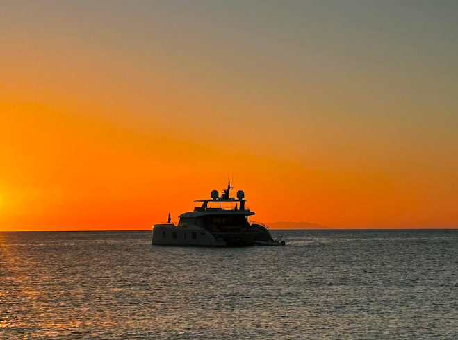
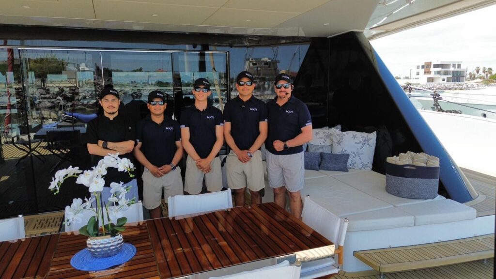
NJOY 80-foot Sunreef Power catamaran
Few places in the world offer the diversity of boating experiences found in Baja California Sur.
Within a single voyage, you can leave the protected waters of the Sea of Cortez, round the iconic Arch of Cabo San Lucas, and enter the vast Pacific Ocean. You can spend the morning chasing striped marlin offshore, enjoy lunch anchored in a secluded bay, and finish the evening watching whales breach against a sunset that seems almost unreal.
It is this combination of extraordinary fishing, spectacular cruising grounds, abundant marine life, and dramatic coastlines that has made Baja California Sur one of the world’s premier destinations for sportfishing, yachting, and offshore adventure.
Yet these same waters demand respect.
Strong afternoon winds, changing currents, tropical storms, rocky headlands, remote anchorages, and long distances between fuel docks all require careful preparation. Every year, experienced captains postpone trips, change destinations, or remain in port because they understand one fundamental truth:
The ocean always has the final say.
This guide was created to help recreational boaters, yacht owners, anglers, and cruising enthusiasts safely navigate the waters of Baja California Sur. It combines official maritime guidance, proven navigation practices, and practical knowledge gained from generations of local captains who have spent their lives on these waters.
Whether you’re visiting Baja for the first time or you’ve crossed these waters for decades, preparation remains the most valuable piece of equipment onboard.
Why Baja California Sur Is Unique
Baja California Sur is surrounded by two completely different bodies of water.
To the west lies the Pacific Ocean—a vast expanse known for powerful swells, open-ocean weather systems, and world-famous offshore fishing grounds.
To the east lies the Sea of Cortez, often called “The Aquarium of the World,” where protected islands, turquoise bays, and incredible marine biodiversity create some of the finest cruising grounds anywhere on Earth.
While these two regions meet at Cabo San Lucas, their personalities couldn’t be more different.
The Pacific often delivers larger swells, stronger currents, and changing afternoon conditions.
The Sea of Cortez generally offers calmer mornings, warmer water during summer, and countless protected anchorages stretching north toward Loreto and beyond.
Understanding these differences is the foundation of safe navigation.
Before You Leave the Dock
Experienced captains know that successful trips begin long before the engines start.
Preparation is what separates a relaxing day on the water from an emergency.
Before every departure, consider the following checklist.
Weather
Never rely on a quick glance out the marina entrance.
Conditions offshore may be completely different from what you see inside the harbor.
Review:
- Wind forecast
- Wave height
- Swell direction
- Tide information
- Tropical weather outlook
- Port Captain advisories
Official Pacific marine forecasts from the National Hurricane Center are an excellent resource for offshore planning, particularly during hurricane season.
For Mexican ports and navigation advisories, always review updates published by the Secretaría de Marina (SEMAR) before departure.
Fuel Planning
One of the most common mistakes made by recreational boaters is underestimating fuel consumption.
Always calculate:
- Distance to destination
- Time trolling
- Generator usage
- Weather delays
- Reserve fuel
Many professional captains follow the traditional rule of thirds:
- One-third outbound
- One-third inbound
- One-third emergency reserve
Long-range destinations such as Finger Bank, Magdalena Bay, or multi-day expeditions into the Sea of Cortez require even more conservative planning.
Safety Equipment
Every vessel should carry equipment appropriate for its size and intended voyage.
Recommended items include:
- Properly fitted life jackets for every passenger
- VHF marine radio
- GPS/chartplotter
- Navigation lights
- Fire extinguishers
- Bilge pumps
- First aid kit
- Emergency signaling devices
- EPIRB or PLB for offshore voyages or a Starlink
- Spare engine belts and filters
- Extra drinking water
- Basic tool kit
Technology is valuable—but redundancy saves lives.
Understanding Baja Weather
Weather is the single most important factor affecting navigation in Baja California Sur.
Conditions that appear calm at sunrise can become challenging by mid-afternoon.
Learning how local weather behaves is one of the greatest advantages a captain can develop.
Winter
From November through March, northern winds frequently affect the Sea of Cortez.
Strong “Nortes” can create steep, uncomfortable seas, particularly north of La Paz.
Meanwhile, the Pacific coast often experiences larger northwest swells generated thousands of miles away.
Summer
Summer generally brings calmer seas but introduces tropical weather.
Although not every tropical disturbance reaches Baja California Sur, every captain should monitor forecasts during hurricane season.
Even storms hundreds of miles away can generate significant swell.
Afternoon Winds
One of Baja’s most recognizable weather patterns is the afternoon breeze.
Morning departures often begin under calm conditions.
By early afternoon, localized winds can build rapidly, producing rough rides home.
Planning your return before conditions deteriorate is one of the simplest ways to improve safety.
Captain’s Insight
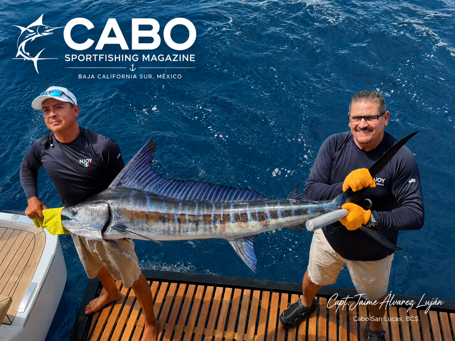
Captain Jaime Álvarez Luján
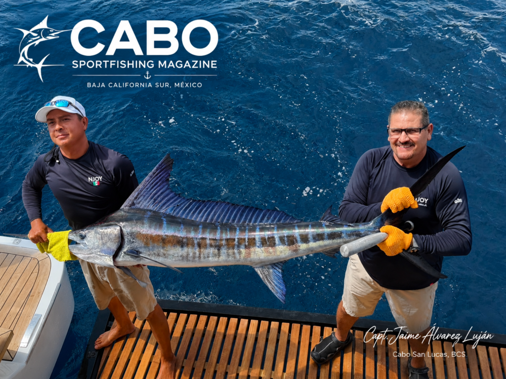
Professional Yacht Captain | Baja California Sur
With more than 25 years of professional experience navigating the waters of Baja California Sur, Captain Jaime Álvarez Luján has spent his career operating luxury yachts ranging from 70 to 140 feet throughout the region. His extensive experience includes Cabo San Lucas, the East Cape, La Paz, Loreto, Magdalena Bay, and the Pacific Coast of Baja. Today, he serves as captain of an 80-foot luxury catamaran with a 37-foot beam, spending nearly 80% of his time at sea between March and September.
After thousands of hours navigating Baja’s coastline, Captain Jaime has learned that safe boating is built on preparation, discipline, and respect for the sea.
“Safe navigation begins long before leaving the dock. One of the first tools I check every morning is Windy because it gives me an excellent visual understanding of wind conditions over the next several days. During hurricane season, I also rely heavily on NOAA forecasts. But I never depend on a single source. Every decision to leave the dock is based on comparing multiple weather models, watching how conditions evolve, and combining that information with years of experience on the water.”
Captain Jaime emphasizes that modern weather technology has transformed voyage planning, but technology should never replace good seamanship.
Throughout his career, he has postponed or canceled trips when forecasts indicated deteriorating conditions—even when the marina appeared calm—because experience has taught him that the Pacific Ocean and the Sea of Cortez can change far more quickly than many recreational boaters expect.
He also reminds captains that some of the most valuable information isn’t found on a screen.
“I pay close attention to the horizon, wind lines developing offshore, swell direction, sea surface texture, water color, and visibility. Those visual clues often tell me that conditions are changing long before most people notice.”
Editor’s Note: Captain Jaime’s philosophy reflects the mindset shared by many of Baja California Sur’s most experienced captains. Weather applications such as Windy are excellent planning tools, but no single forecast should ever be used in isolation. Professional captains compare multiple forecast models, monitor official marine forecasts, observe changing conditions while underway, and never allow technology to replace sound judgment or local knowledge.
Weather Tools Every Captain Should Use
Professional captains rarely rely on a single forecast.
Instead, they compare several independent weather models before making decisions.
Recommended resources include:
- Windy for wind visualization and wave forecasts
- National Hurricane Center for offshore marine forecasts and tropical weather
- PredictWind for routing and multiple weather models
- Buoyweather for swell and sea-state forecasts
- SEMAR Port Captain reports for official operational status of Mexican ports
The goal is not to find the forecast you like best.
The goal is to understand what the ocean is most likely to do.
Reading the Ocean
Modern electronics are extraordinary, but experienced captains still spend as much time looking out the windshield as they do looking at a screen.
The ocean constantly provides clues.
Birds diving repeatedly often indicate baitfish pushed to the surface by predators.
Color changes may reveal current breaks where warm and cool water meet.
Floating debris frequently attracts bait, mahi-mahi, tuna, and billfish.
A line of smooth water beside rough water often marks a current edge.
Learning to interpret these signs improves both navigation and fishing success.
Charter Before You Buy
Many visitors fall in love with Baja California Sur after spending time aboard a yacht or sportfishing vessel.
Owning a boat here is an incredible experience—but choosing the right vessel requires more than walking through a brokerage listing.
One of the best ways to understand which type of yacht fits your lifestyle is to spend time aboard different boats operating in real Baja conditions.
From center consoles and express sportfishers to luxury motor yachts and expedition vessels, every design performs differently depending on your cruising plans.
Companies such as Cabo Yacht World have helped visitors experience these waters firsthand through professionally operated yacht charters, allowing future owners to understand the advantages of different layouts, sizes, and cruising capabilities before making a major investment.
When you’re ready to purchase, experienced marine brokerages such as Boats for Sale in Cabo can help buyers navigate the local market, inspections, documentation, importation considerations, and vessel selection throughout Baja California Sur.
For many boat owners, chartering first leads to smarter buying decisions later.
Respect the Sea
The greatest lesson passed from one generation of Baja captains to the next is simple:
Never underestimate the ocean.
Good captains are not measured by how often they leave the dock.
They are measured by their judgment.
Choosing to delay a trip because conditions are deteriorating is not a sign of weakness—it is a sign of professionalism.
The ocean will still be there tomorrow.
Your crew deserves to be there too.
Official Resources Worth Bookmarking
Before every voyage, consult reliable, up-to-date information from official and trusted organizations:
- Mexican guidance for private vessels entering the country.
- National Hurricane Center Eastern Pacific marine forecasts.
- Secretaría de Marina (SEMAR) port operational status, navigation advisories, and emergency information.
- Windy for wind and wave visualization.
- PredictWind for weather model comparisons.
- Buoyweather for swell forecasts.
These resources, combined with local knowledge and sound seamanship, provide the best foundation for making informed decisions on the water.
Final Thoughts
Baja California Sur offers some of the most rewarding boating anywhere in the world. From the offshore banks of Cabo San Lucas to the remote anchorages of the Sea of Cortez and the whale-rich waters of Magdalena Bay, every mile of coastline has something extraordinary to offer.
Preparation, respect for the sea, and a commitment to continual learning are what allow captains to enjoy these waters safely.
At Cabo Sportfishing Magazine, our mission is not only to celebrate world-class fishing and yachting—it is to help every captain, boat owner, and visitor return safely to the dock with stories worth sharing.